Ignalina District Tourism Information Center

8 lakes route in Ignalina

Download GPX
Briefly about the route
Easy
12 km
5 h.
24
Route surface
60% Asphalt
5% Dirt road
35% Forest path

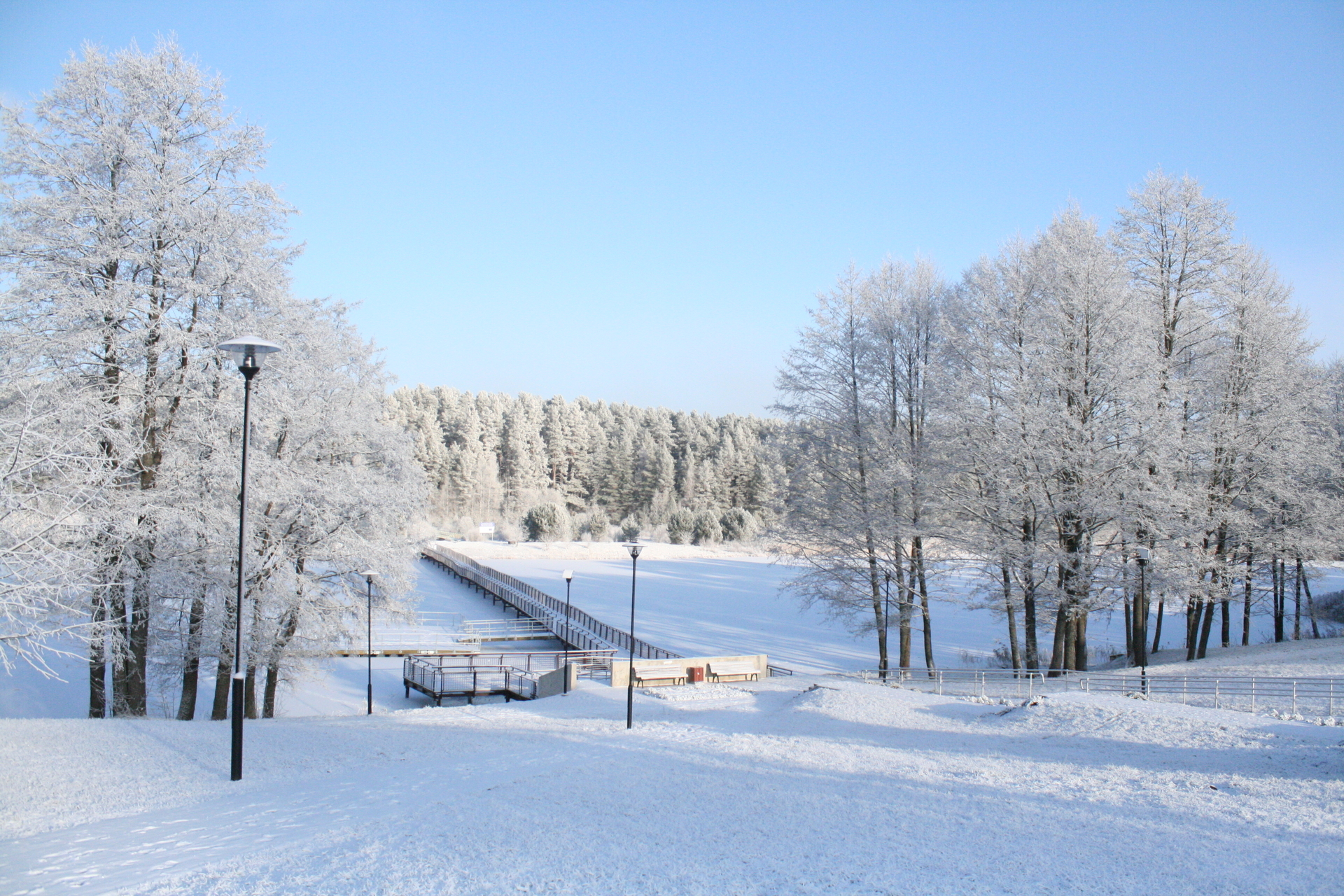
Ignalina - the land of lakes.

There are several hundred lakes in the district and dozens around the city itself. We invite you to take a walk through the town, not only walking through the streets, but also the forests, the lakeshores, and climbing the observation tower to admire the magnificent landscape.

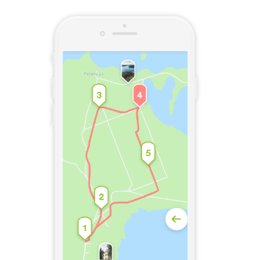
The number of eight in the route name not only reflects the number of lakes, but also the shape of the route, which allows you to choose whether to go the whole route or split in parts.

Route marking

You can find this route in the Walk15 mobile application.

Trip progress

210 m
< 10 min.
230 m
< 10 min.
430 m
< 10 min.
770 m
< 10 min.
140 m
< 10 min.
470 m
< 10 min.
500 m
< 10 min.
720 m
< 10 min.
410 m
< 10 min.
500 m
< 10 min.
1.2 km
15 min.
330 m
< 10 min.
380 m
< 10 min.
860 m
10 min.
340 m
< 10 min.
150 m
< 10 min.
1.3 km
20 min.
760 m
< 10 min.
2 km
25 min.
84 m
< 10 min.
120 m
< 10 min.
210 m
< 10 min.
380 m
< 10 min.
10 m
< 1 min.

Reviews

Comment

Smartphone app / Audio guide

It is an interactive, innovative, modern technology-based learning and cultural awareness tool for Lithuanian and foreign visitors to get to know important and unique cultural heritage objects and famous people in our country