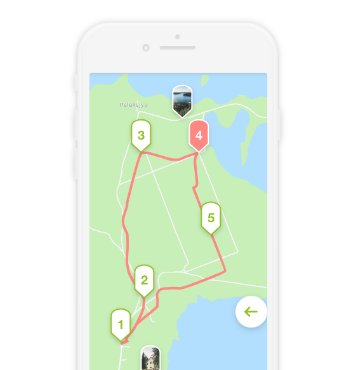
A challenging one-day hiking route starting in Palūšė, and ending in Ginučiai.
The route mostly made up forest roads, paths, and gravel roads.
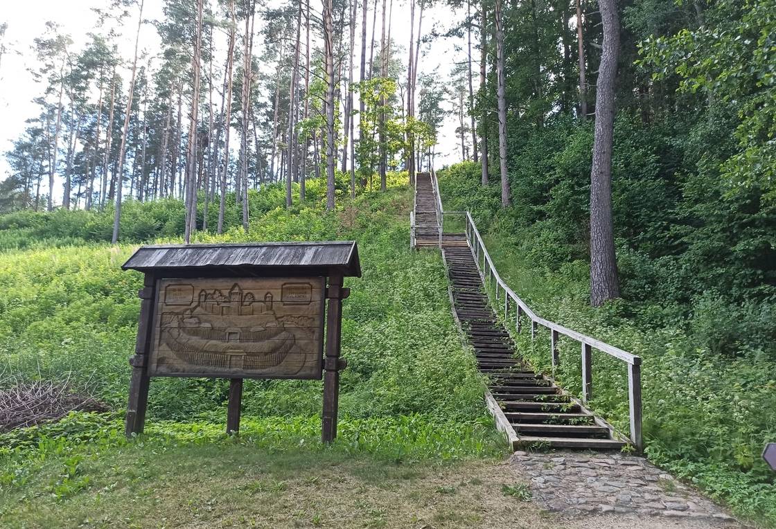
The route starts at Aukštaitija National Park Visitor Centre. Go right from the parking lot in the direction of Ignalina. After 400 m, you will see Palūšė Beach on your left. Go towards the forest. Turn left after crossing the bridge and proceed along the lakeshore towards Meironys. On your way, you can look over wooden sculptures. After reaching the asphalted road, go along it passing the village of Meironys. At the end of the village, asphalted road ends and the gravel road starts. After 200 m from the end of the asphalted road, you will see a byway on the left towards Meironys campsite. After walking straight for 1.2 km, you will see a resting place by Asalnai Lake on your left. After another 500 m from the resting place you will see a sign directing towards Asalnai Pine. After walking another 1.2 km from this sign, turn left at the crossroad. From this point, approximately 1.3 km is left to Puziniškis. After coming out of the forest you will find yourself at the glade where Puziniškis village is located. At the very end of the street, there is an oak growing on a slope. From this oak, come back to the crossroad at the approaches to the villages and turn left to the road leading to north. Keep left at the road forks after 200 m. The road leads across the outskirts of the field, and makes a sharp right turn to the forest after 400 m. After 1 km, you will approach Puziniškis Mound on your right. Nearby, there is a resting place. From this resting place, you will see a bridge, after crossing the bridge, keep left, and after 1 km you will approach the village of Salos. Keep right in the three-road crossroad, and go towards the village of Salos II. Go in the direction of Salos II without turning from the main gravel road. You will reach the village after 1 km. At the approaches of the village Salos II, turn right after passing a barn on your right. Go along the path up to the forest and further until you reach a T-junction. Turn left. Go along the lake shore of Linkmenas lake until you reach the channel that connects the lakes of Alksnaitis and Linkmenas. There is a small bridge set up over the channel for pedestrians and cyclists. There is a pedestrian-bicycle trail going from the bridge to the top of Ladakalnis. Turn left at the first road fork, and turn right up the hill at the second one. The rise is rather steep. At Ladakalnis starts a gravel road that leads to Ginučiai Mound. Climb down the wooden stairs to the parking lot of Ginučiai, Papiliakalnė Mound. Keep left after reaching the asphalted road. Go along the road towards Ginučiai village. After coming to the village, you will come to a T-junction. Turn right and go along the main street of the village. You will approach a watermill after 600 m. If you want to reach the campsite of Almajo lake, go back 200 m from the mill. Turn right at the first three-way crossroad. At this point, you will move from asphalt road to the gravel road. Beside the last residential buildings you will arrive at a crossroad, where you should keep left. Walking along the Almajo lakeside you will arrive at a campsite. Here you can take a break, or stay overnight.


Reviews