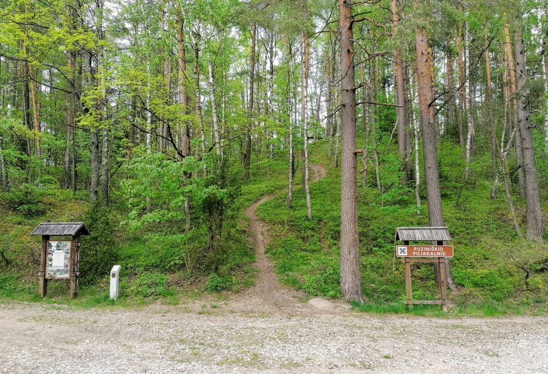
Palūšė - Puziniškis. The start of the route is at the visitor center of Aukštaitija National Park. After leaving Lūšiai street, turn right towards Ignalina. At the end of the village, turn left to the lot by the beach. After passing the site, cross the stream on the road. Travel along the track along Lūšiai lake to the village of Meironys. Along the way, you can see the wooden roof posts. After reaching the asphalt, continue your journey through the village of Meironys. At its end, the paved road ends and a gravel road begins. 200 m from the end of the asphalt surface, the road to the Meironys campsite branches off to the left. If you continue straight on for about 1.2 km, you will pass a rest area by Lake Asalnai on the left. After passing another 500 m from the resting place, you will see a link to Asalnų pine. After another 1 km you will reach an intersection, turn left at it. It is about 1.30 km to Puziniškis. You will leave the forest to the clearing where the village of Puziniškis is located.
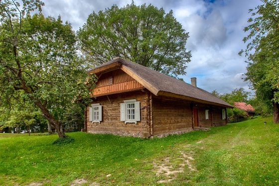
Puziniškis - Salos II. An oak tree grows on a cliff at the end of a village street. From the oak tree, return to the junction at the beginning of the village and turn left on the road leading north. For 200 m. it forks, keep to the left. The road leads to a meadow, and after 400 m. suddenly turns right into the forest. After about 1 km you will reach the bridge to Salos. On the right side of the road - Puziniškis mound. After crossing the bridge, turn right and follow the shore of Lake Linkmenas. About 700 years ago there will be an intersection. The road going west leads to Ladakalnis. Keep left, the route leads south towards the ethnographic village of Salos II. In places, the forest path becomes barely visible, but don't be alarmed. Soon he takes him out of the forest and brings him to the village of Salos II.
Salos II - Palūšė. In the village you will reach a crossroads, turn left at it and drive about 1 km to the village of Salos. Turn right at the crossroads in the village of Salos. For 500 m. you will leave the forest, the farmsteads of the village of Antalksne will begin. Follow the main gravel road and travel to a junction where you turn right. For 200 m. when you reach an intersection, keep left. From Antalksne to the main road about 0.5 km. Turn left at the intersection. After 1.5 km on the left side of the road, there is a rest stop with a wonderful panorama. After 4.5 km you will reach an intersection, turn left at it. After crossing the bridge for 600 m, turn left to Šakarva campsite. Beyond the campsite, the road leads into the distant forest. Follow this road for 1 km. After leaving the forest and passing the farmhouse, the road makes a sharp turn to the right. From this turn, the road leads straight to Palušė.







Reviews